File:GOES sandy.mp4
From WikiROMS
Jump to navigationJump to search
Size of this JPG preview of this MP4 file: 720 × 600 pixels.
Original file (file size: 41.15 MB, MIME type: video/mp4)
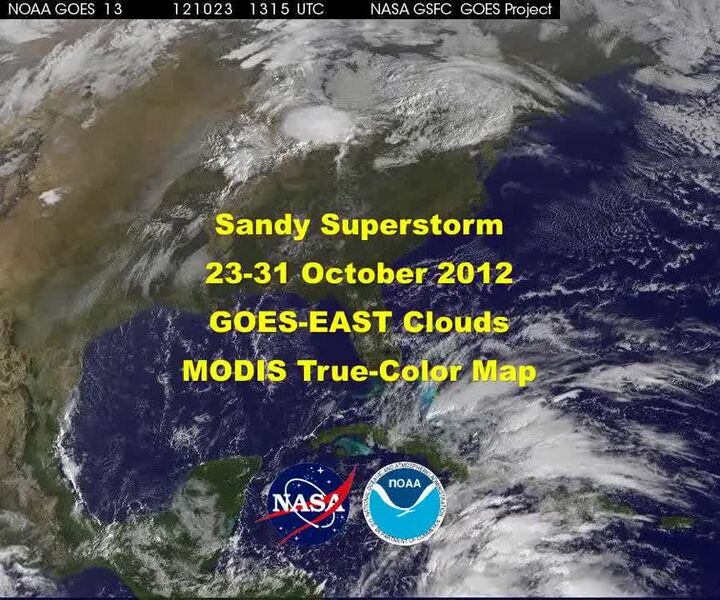
NASA GOES Satellites: Hurricane Sandy October 23-31, 2012 MODIS True-Color Map Source: NASA & NOAA
File history
Click on a date/time to view the file as it appeared at that time.
| Date/Time | Thumbnail | Dimensions | User | Comment | |
|---|---|---|---|---|---|
| current | 17:43, 28 February 2019 | 0.0 s, 864 × 720 (41.15 MB) | Robertson (talk | contribs) | NASA GOES Satellites: Hurricane Sandy October 23-31, 2012 MODIS True-Color Map Source: NASA & NOAA |
You cannot overwrite this file.
File usage
The following page uses this file:
Transcode status
Update transcode statusNo transcoding required.