File:Sandy WRF Terrain Height.png: Difference between revisions
From WikiROMS
Jump to navigationJump to search
WRF Terrain Height (m) with WRF (red) and ROMS (black) grids used in coupled, nested Hurricane Sandy Model. (change visibility) |
(No difference)
|
Latest revision as of 15:04, 26 February 2019
WRF Terrain Height (m) with WRF (red) and ROMS (black) grids used in coupled, nested Hurricane Sandy Model.
File history
Click on a date/time to view the file as it appeared at that time.
| Date/Time | Thumbnail | Dimensions | User | Comment | |
|---|---|---|---|---|---|
| current | 15:04, 26 February 2019 | 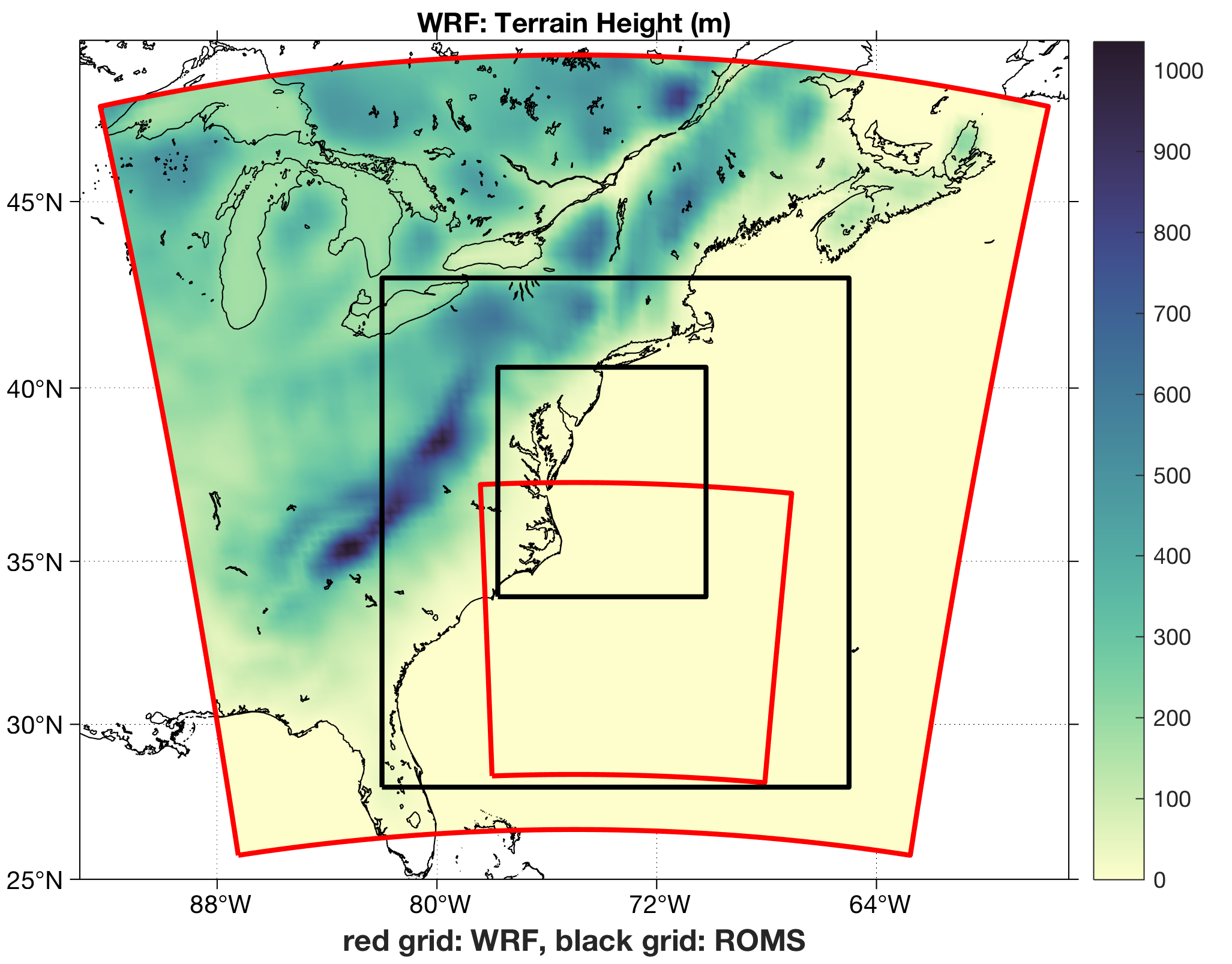 | 2,053 × 1,607 (684 KB) | Robertson (talk | contribs) | WRF Terrain Height (m) with WRF (red) and ROMS (black) grids used in coupled, nested Hurricane Sandy Model. |
You cannot overwrite this file.
File usage
The following page uses this file: